

Drone Services
Depending on the size of the study area TFS GIS can offer: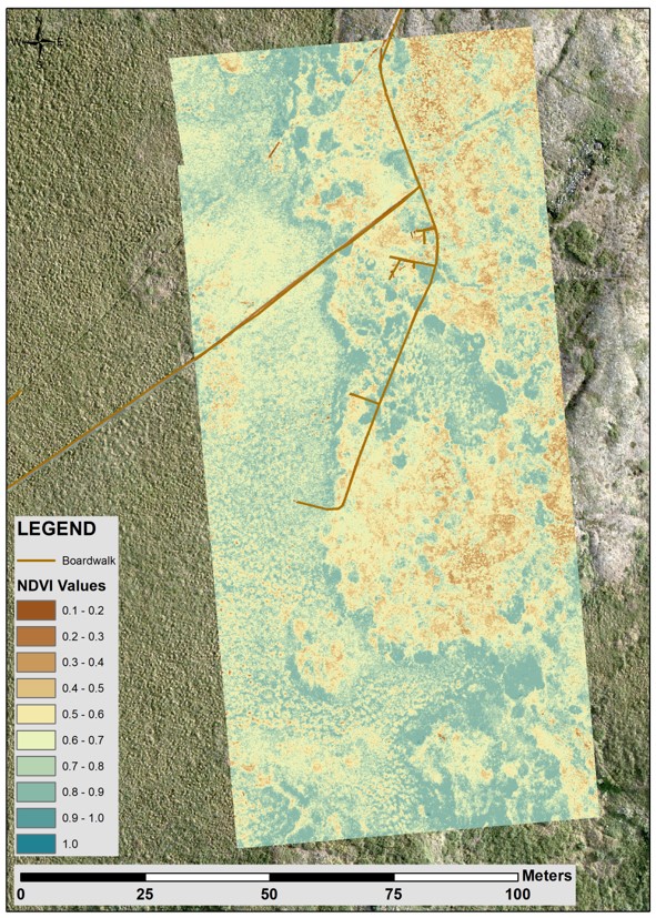
- Coarse to High resolution Digital Surface Models
- Think Digital Elevation Model with the surface being the vegetation.
- Coarse to High resolution RGB imagery of study sites
- Coarse to High resolution NDVI imagery of study sites
- Repeat surveys of a study are through a field season
- Snow depth maps (calibrated with on the ground measurements in collaboration with the EDC)
- Oblique study area photos
When planing your field work, keep in mind that the larger the area requested for a drone survey the coarser the resolution.
- If you want imagery from a 10x10 m area we can provide you with <1cm resolution imagery,
- If you want imagery over an 1x1km area the pixel size resolution will be larger.
We are always open to new suggestions so if you are imagining something not listed here, reach out to us at uaf-iab-tfs-gis@alaska.edu and we will see if we can make your dreams come true!