

Remote Sensing and GIS
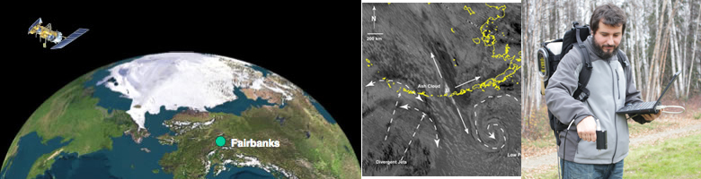
Our research in geospatial sciences (remote sensing, geographic information system (GIS) and global positioning system (GPS)) involves mapping and monitoring geological features and processes. We cover all aspects of geospatial research including acquisition of ground based, airborne, and satellite data; development of software tools and data processing techniques; and use of data and tools for a variety of applications. These applications include, but are not limited to, mapping and modeling in support of exploration, volcanology, planetary science, ecology, and cryospheric studies.
Department faculty also conduct research within the Geophysical Institute Remote Sensing Group. We work closely with the Alaska Satellite Facility and the Geographic Information Network of Alaska, two large facilities on the UAF campus that provide us data in near-realtime. Our research is closely aligned with current needs of several industries and agencies. Therefore, the research training and experience our students gain, prepares them well for a professional career and makes them very competitive as they seek employment.
For more details visit the following webpages:
Geophysical Institute Remote Sensing Group
Faculty
Chris Maio
Franz Meyer
Simon Zwieback
Collaborating Faculty
Uma Bhatt
Mark Fahnestock
Rudiger Gens
Michael Hatfield
Robert Herrick
Pavel Izbekov
Andy Mahoney
Santosh Panda
Peter Webley