

Field Geology (Geos 454) - mapping areas
This page is under reconstruction!
Timeline and projects
Part 1 consists of three projects with increasing complexity, Fairbanks - Chena Ridge, Healy and Red Rock Canyon.
Project 1: Fairbanks (3 days)
- We spend a couple of days to review basic mapping techniques: orientation in the field, outcrop description, identifying structures, measuring strike/dip and trend/plunge,
- map the contact between metamorphic rocks on Chena Ridge and identifying its nature,
- and learn about the great mapping app StraboSpot, which we will use throughout the field camp,
- and practice setting up WeatherPort tents that will serve as office and cook tents for the next projects.
- Assignment: You will write a short report with unit descriptions and discussion of the contact.
Project 2: Healy (7 days)
- The sediments in the foothills of the Alaska Range are ideal for practicing unit descriptions and drawing geologic contacts on a map. Excellent exposures provide clues about depositional environments and source regions, and help us unravel the geologic history preserved in the rocks.
- A visit to the Usibelli Mine exposes faults that provide clues about the stress field that affected the sediments in the last several million years.
- A day-trip to nearby Denali National Park will lead us into the metamorphic core of the Central Alaska Range, with some real exciting structures. If we are lucky, we will be able to see North America’s tallest peak, Denali – the Great One.
- Assignments: Daily set of questions, geologic cross sections, detailed unit descriptions
Project 3: Red Rock Canyon (9 days)
- After a couple of days relaxing and restoring energy, we prepare for the next project by looking at samples and thin sections. Finally, we head out to the other end of the Alaska Range, Red Rock Canyon in the Eastern Alaska Range for a mapping project in crystalline rocks.
- Located just south of the Denali Fault, Red Rock Canyon displays a variety of plutonic, volcanic and metamorphic rocks and some large-scale structures ideal for semi-independent mapping in small groups (accompanied by a geo-buddy). You will manage your project with StraboSpot and map with a tablet using the StraboSpot mobile app.
- Halfway through the project, we will take a well-deserved break and explore some of the magnificent scenery along the Denali Highway (We are pretty far away from Denali National Park, though. A long time ago this was the only access road to what was then known as McKinley National Park. Hence the name.)
- Assignment: 1:25,000 scale analogue map on mylar and cross-sections accompanied by a professional geologic report.
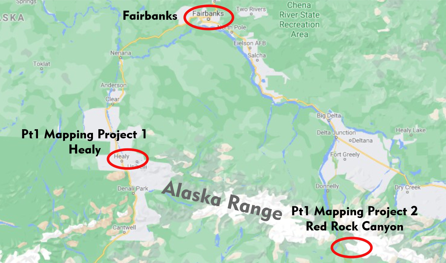
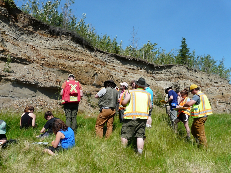
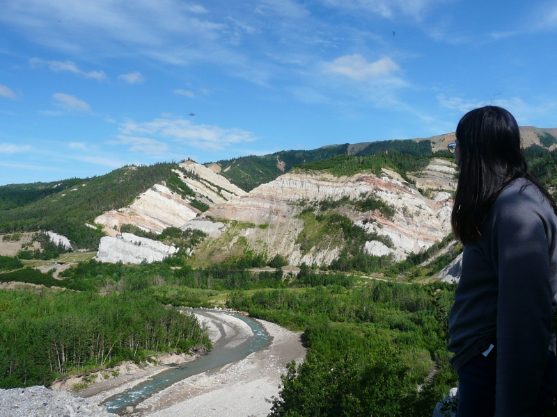
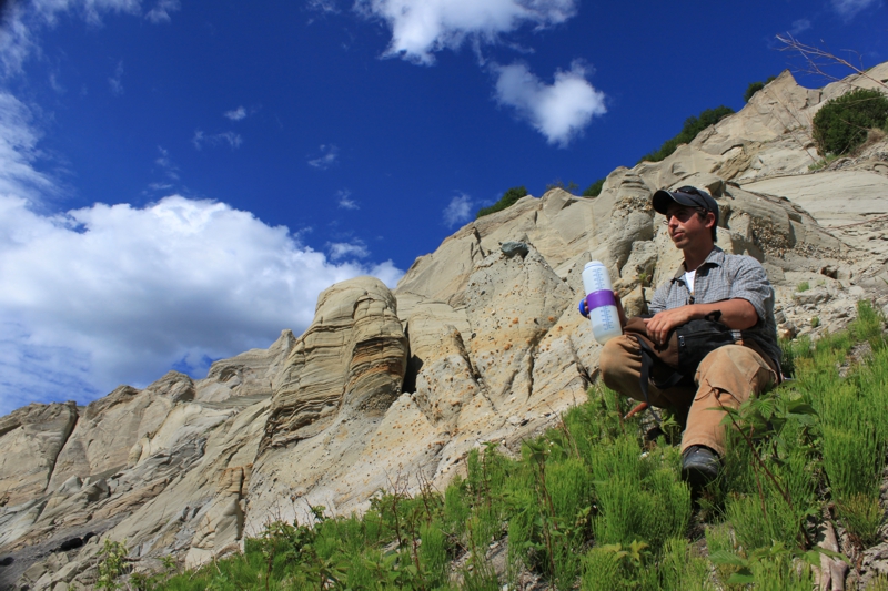
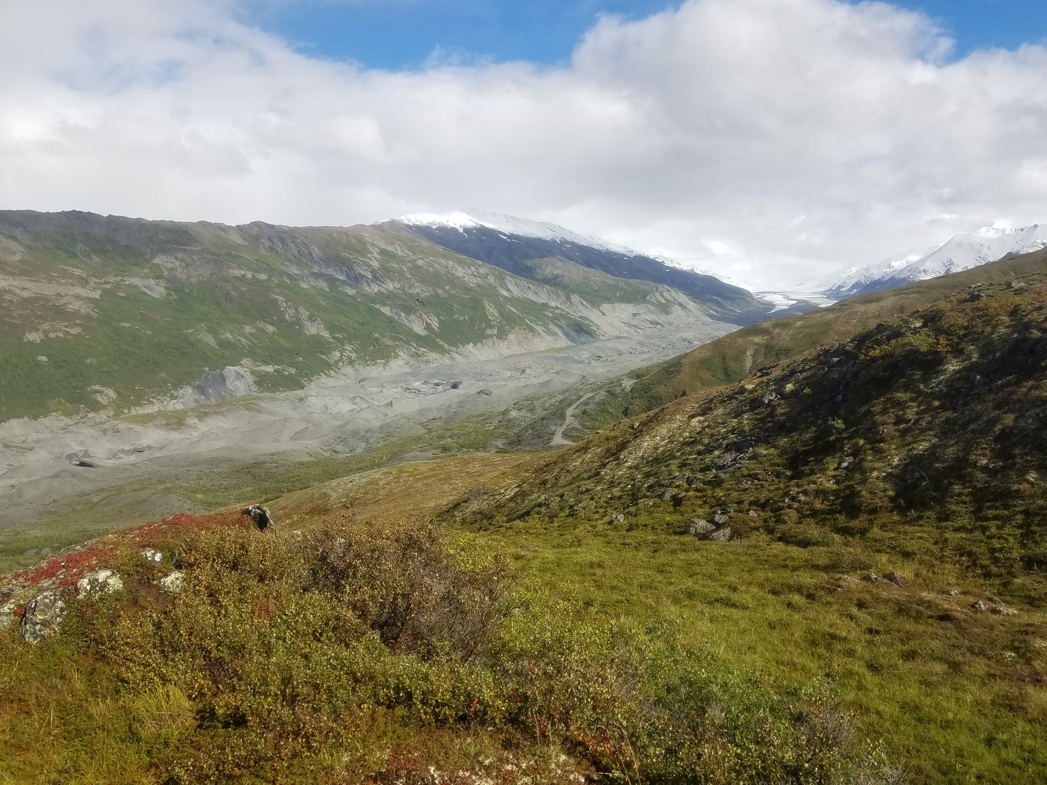
Healy – northern foothills of the Alaska Range
The first project outside of Fairbanks takes us south to the foothills of the Alaska Range near the town of Healy. We will encounter metamorphic and young, barely lithified, sedimentary rocks, mainly conglomerate, sandstone and coal. The coherent stratigraphy and modest structural complications makes this area ideal for recognizing contacts between units, and relating 3D geology to a 2D map. We will practice drawing and interpolating geologic contacts, creating geologic cross-sections and identifying structures based on exposed and inferred geology.
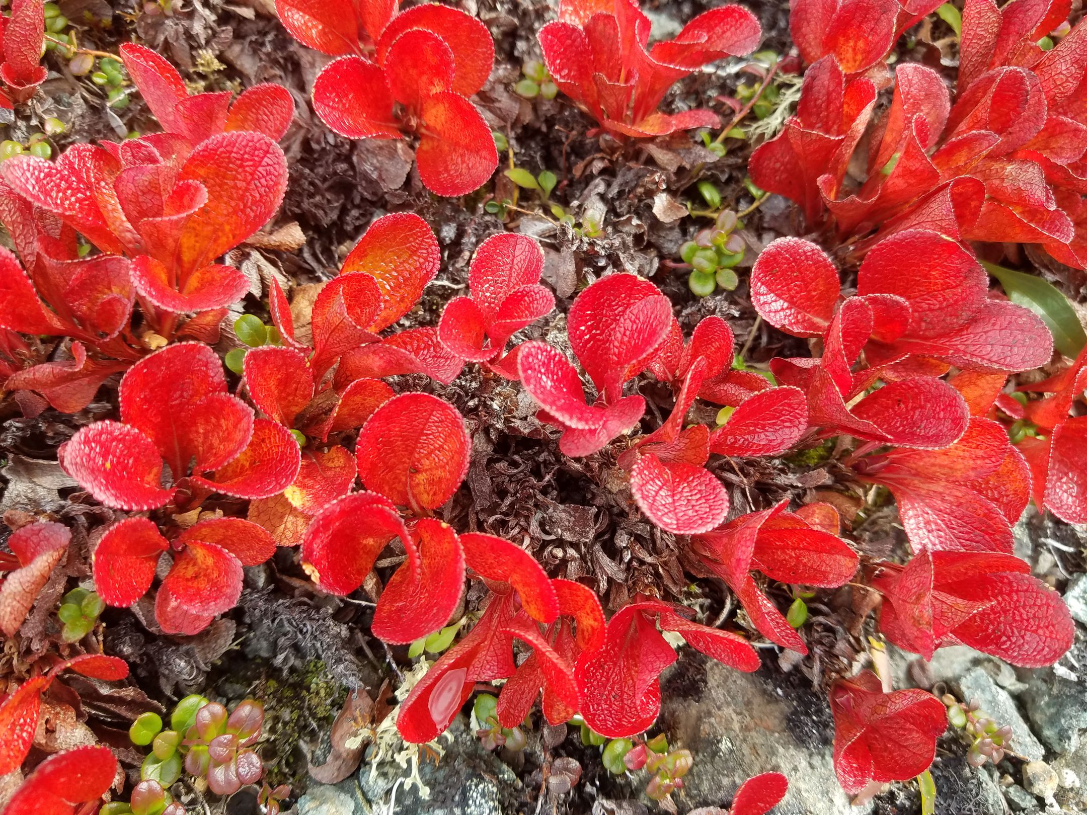
Impressions from Healy
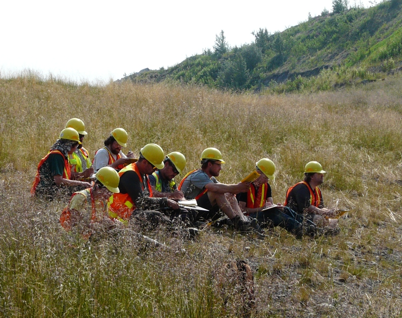
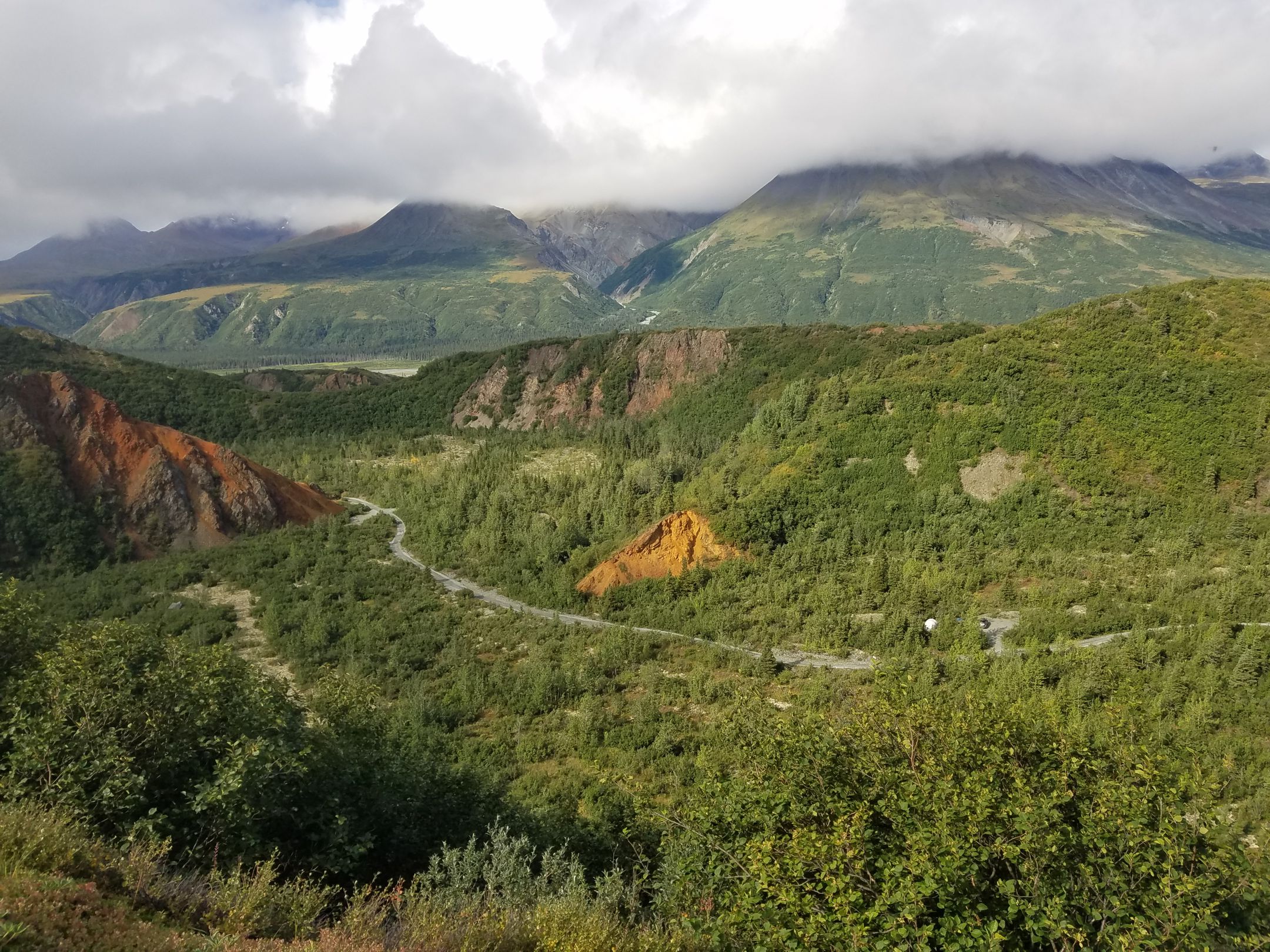
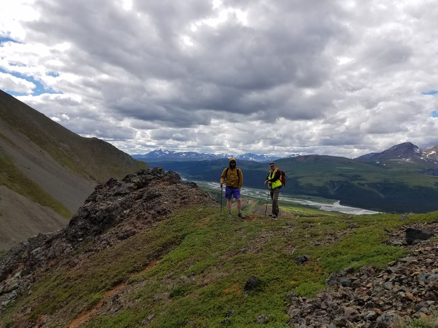
Red Rock Canyon - Eastern Alaska Range
30 miles south of Delta Junction along the Richardson Highway, the metamorphic and igneous rocks of Red Rock Canyon are located immediately to the south of the Denali Fault, one of the major tectonic structures in Alaska that marks the boundary between ancestral North America (Yukon-Tanana Terrane) and accreted terranes and volcanic arcs (Wrangellia Composite Terrane). Tectonic activity south of the Denali fault resulted in juxtaposition of volcanic rocks with mica schist along the Broxon Gulch Thrust, which is prominently exposed in the mapping area. We can also observe colorful hydrothermal alteration and mineralization from which the area has gotten its name.
You will learn how to use digital tools to map with the StraboField app and an iPad mini. You will create and manage your own mapping project on the StraboSpot website. Your geologic map will still be created as a hard copy on mylar.
Impressions from Red Rock Canyon

Back to Main Page