


Alaska Region Digital Elevation Model
This page is archived. It is kept only for reference purposes, so it is no longer being updated and may not meet accessibility standards. If you need this content in a different format, please email uaf-cfos-web@alaska.edu.
Project Description
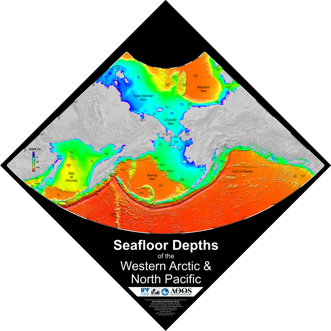
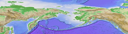
We have created the Alaska Region Digital Elevation Model (ARDEM), a bathymetric grid with nominal 1-km grid spacing over the domain 45»N-80»N and 130»E-120»W. The DEM is based nearly exclusively on ship sounding datapoints, including Electronic Navigation Chart point soundings, research vessel underway soundings, multibeam swath mapping datasets and digitized point soundings from paper nautical charts. Depths from the International Bathymetric Chart of the Arctic Ocean (IBCAO) grid are used in the northern Chukchi Sea, the Beaufort Sea, and the northern East Siberian Sea. In order to assist users that have interest in employing a combined bathymetric-topographic DEM, we have spliced the ocean DEM grid with land elevations from the Global Land One-kilometer Base Elevation (GLOBE) 1-km open source DEM.
Project Funding
NPRB
Amount: $99,629
Start Date: 2012-07-01 End Date: 2014-06-30
Research Team

Seth Danielson
Principal Investigator
Associate Professor
Specialties:
- Continental shelf circulation processes
- Data processing and analysis
- Atmosphere-ocean interactions