

NDVI Measurements
The EDC has measured the Normalized Difference Vegetation Index (NDVI) at dry heath and moist acidic tussock tundra locations since 2011 as a part of our biotic monitoring program. NDVI is calculated using the red and infrared bands of the multi-spectral data. This index is valuable as a measure of greenness and photosynthetic capacity.
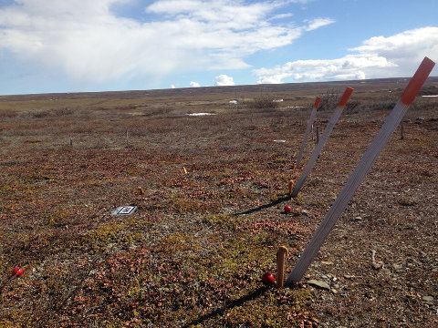
A PP Systems Unispec single channel spectral analysis system is used to collect reflectance measurements. The EDC follows LTER protocols for the data collection and preparation, implementing red and near infrared spectral bands as defined in ITEX papers (e.g., Street et al. 2006) when calculating NDVI. Weekly observations begin in the spring after snowmelt and continue until snowfall occurs in autumn. Observations are conducted at 15 1 m x 1m plots located in LTER control plots on dry heath and moist acidic tussock tundra. Additionally, observations are recorded along four 150 m transects which lie in the footprint of time lapse cameras on these two tundra types.
Data
Data accessible from the Arctic Data Center. Please cite the data as follows: