

Satellite liaison receives NASA award
November 13, 2017
Sue Mitchell
907-474-5823
A satellite team that included Eric Stevens, a satellite data liaison at the University of Alaska Fairbanks, will receive one of NASA's most prestigious awards on Oct. 25.
Stevens helped during launch of the GOES-R satellite in November 2016. The GOES-R team will receive the 2017 Group Achievement Award at NASA's Washington, D.C., headquarters Wednesday.
The GOES-R, since renamed GOES-16, is the most advanced geostationary satellite the United States has ever launched.
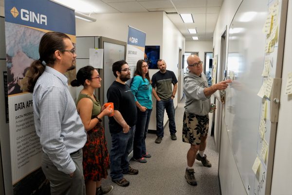
The award goes to over 500 people on the GOES-R team, including engineers, scientists and liaisons. Stevens works at the Geographical Information Network of Alaska, which is based at UAF's Geophysical Institute.
“It truly is an honor to be recognized by NASA for this work,” said Stevens. “There are many people on the team here at GINA that have made this effort a success. This award really belongs to all of GINA.”
The GOES system is a series of satellites in geostationary orbit that provide data for weather forecasting. For the last few years, GINA has used data from polar-orbiting weather satellites to simulate the imagery that this new generation of GOES satellites will deliver to forecasters.
“Just like a surgeon has a scalpel, a weather forecaster has satellite data — that’s their tool, and GINA gives them those tools so they can do their jobs,” Stevens said.

The liaison’s job is to bridge the gap between the GOES-R program and the people who use the satellite's data and images. Those people are usually National Weather Service forecasters.
The GOES-R program started teaching users how to interpret the data well before the satellite launched.
“In the past, it would take up to a year or two before the data could be used, but, in this case, the users have been extremely prepared, so we’re able to start using the data right off the bat,” said Tom Heinrichs, director of GINA.
The liaisons also help work out organizational differences, Stevens said. For example, GOES-16 produces infrared images that show cold things as black and warm things as white, the opposite of what weather forecasters expect.
“No one at GINA knew that weather people wanted infrared images colored the other way. … Then if you’re looking at clouds on a summer day, the ground will be dark and the clouds will be white — it’s more intuitive,” Stevens said.
The GOES-16 satellite takes higher-quality images at a faster rate than its predecessor. It also is able to create images using more bands in the electromagnetic spectrum.
Currently, only the extreme southeastern panhandle of Alaska is visible to the GOES-16 satellite. In November, the satellite will be repositioned over the eastern United States, where it will not be able to see Alaska.
Alaska will regain higher-quality geostationary images in 2018, when the GOES-S satellite will be launched and positioned over the western United States.
Until then, liaisons like Stevens will be training the weather forecasters with images from Canada — using locations at latitudes similar to Alaska that are visible to the new satellite.
ADDITIONAL CONTACT: Eric Stevens, eric@gina.alaska.edu, 907-474-7022